Company
Politecnico di Torino
Field
Glacier Monitoring
Main goal
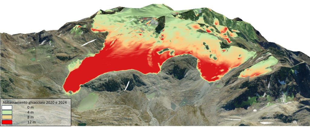
Yearly Assessment of Glacier retraction
Solution
High Resolution Mapping of Alpine Environments
Challenge (needs)
Climate change in alpine regions accelerates glacier melt and permafrost thaw, increasing risks of landslides, floods, and unstable water supplies.
These shifts threaten biodiversity, disrupt tourism economies, and release greenhouse gases, posing serious environmental and economic challenges for local communities.
Technological Solution
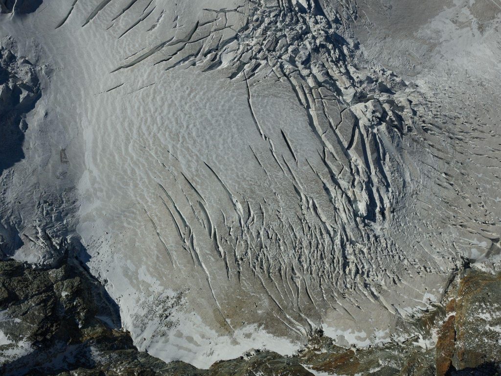
The advanced aerial surveying capabilities proposed by Skymetry’s glacier monitoring practices uses adaptive flight patterns accordingly to variable altitudes. By retrofitting certified aircrafts with high-resolution cameras, multispectral sensors and additional cutting edge technologies, aerial operators can capture sub-decimetric, multi-angle data, creating precise 3D models to track glacier movement and melt dynamics with minimal environmental impact.
Value Proposition
Skymetry solutions provide multi-temporal, high-resolution aerial surveying enabling precise tracking of glacier retraction over time. By analyzing data captured at regular intervals, Skymetry enables the delivery of detailed insights into glacier dynamics, allowing for early detection of changes, accurate measurement of retreat rates, and informed decision-making for climate impact assessment and resource management.
Discover tailored solutions for your needs

