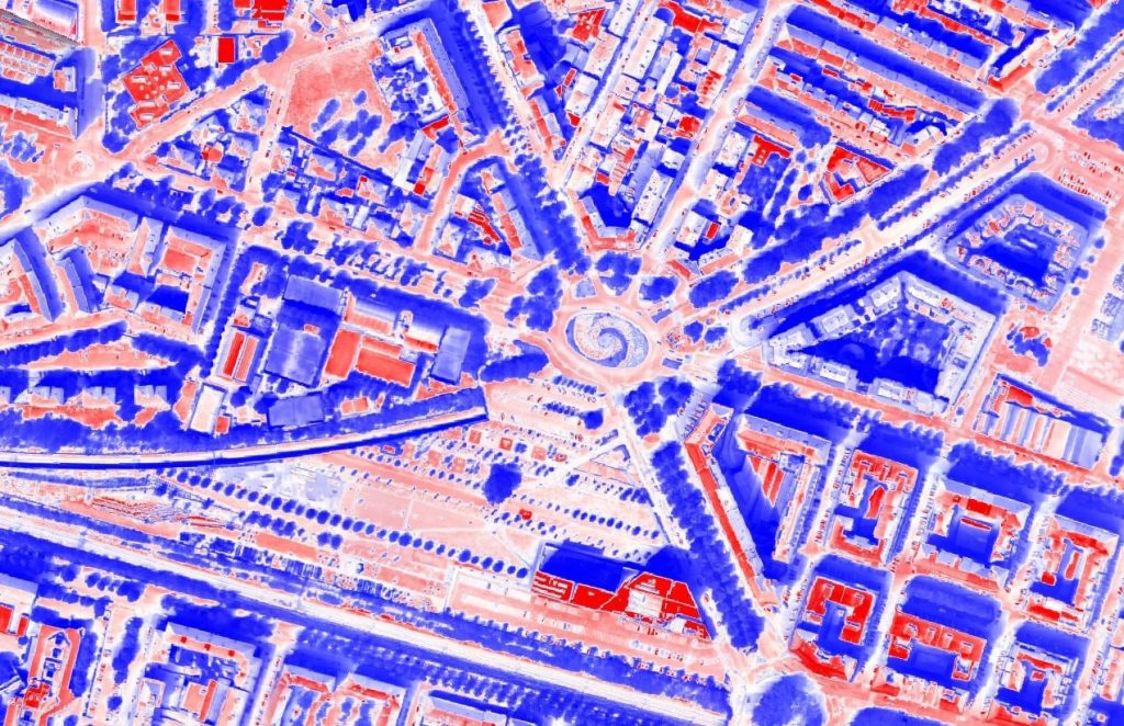
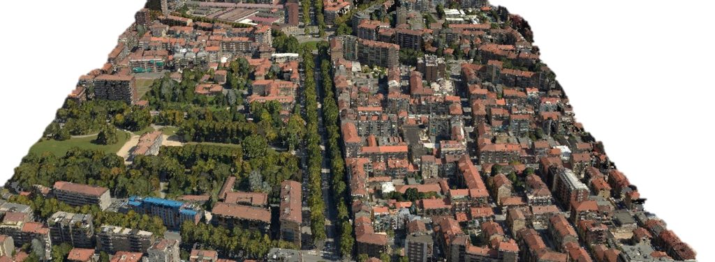
Explore the multiple Skymetry Service Packages that revolutionize the way you monitor, assess and manage Urban environments, for investigation, optimization and planning purposes. Choose the specific need you face and select the most suitable Skymetry Service Level that fits your requirements. Let Skymetry be your partner in shaping the future of your Urban strategy by getting insights about existing opportunities and risks.
Service Packages
Aerial Data Acquisition
Included
Aerial Data Processing
Optional
Ai-Annotation
Optional
3D Digital-Twin WEBGIS
Optional
Satellite-driven Monitoring
Optional
Aerial Data Acquisition
Included
Aerial Data Processing
Included
Ai-Annotation
Optional
3D Digital-Twin WEBGIS
Optional
Satellite-driven Monitoring
Optional
Aerial Data Acquisition
Included
Aerial Data Processing
Included
Ai-Annotation
Included
3D Digital-Twin WEBGIS
Optional
Satellite-driven Monitoring
Optional
Aerial Data Acquisition
Included
Aerial Data Processing
Optional
Ai-Annotation
Optional
3D Digital-Twin WEBGIS
Optional
Satellite-driven Monitoring
Not Included
Customer needs
Urban Digitalization and Classification for Development Planning
3D Digital Twin
Interfering Hydrogeological Risks Identification
Hydrogeological Risk
Heat strike risk classification
Heat Islands
Energy-efficiency Building assessment
Energy Efficiency

Skymetry Services cater to a diverse range of requirements, helping organization operating at Urban level in their core digitalization programs.
Urban agglomerates play a critical role in the functioning of societies: their digitalization through high fidelity 3D digital twins enables the extraction of insights about the opportunities and the risks that they and their inhabitants face, while providing the accurate model upon which their evolution scenarios can be tested.
As technology advances, so do the challenges and opportunities in managing and maintaining these vital assets. Skymetry Services address these challenges head-on, offering comprehensive digitalized monitoring and assessment capabilities tailored to the unique needs of assets’ owners.

Case Study
In this case study, we delve into the challenges faced, the innovative solutions implemented, and the remarkable results achieved through our cutting-edge technology. Learn how Skymetry URBAN can transform your approach to urban management and planning. Dive into the details and unlock the potential of remote sensing technology with Skymetry URBAN.